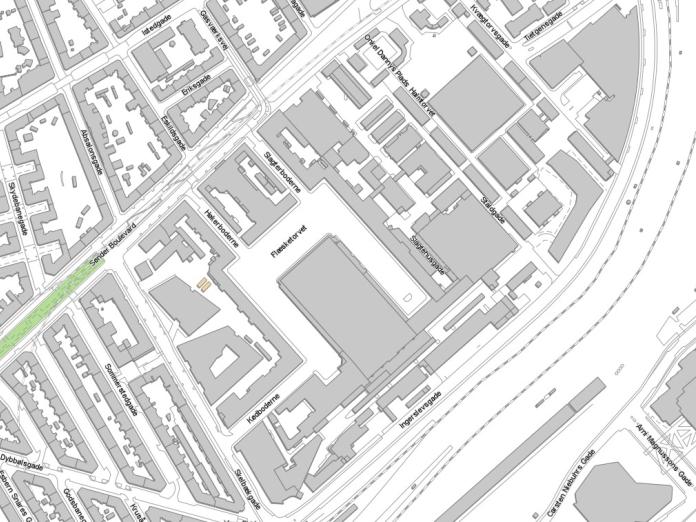
A small collection of useful maps of The Meatpacking District We have collected a number of maps of The Meatpacking District.See below. Dokumenter pdf Historical map of The Meatpacking District_after 1901 Links Municipal interactive map of the entire city The MeatPacking District via Google Maps 3D model of Copenhagen - requires special software